Maps by Nicholas Calcott

The 12th Press is a Paris-based publisher which is focusing on small edition photobooks and 'zines. Recently I picked up a copy of their newest publication Maps from Nicholas Calcott, the owner of 12th Press.
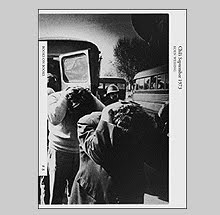
Calcott is the author of Maps but his name doesn't appear in or on the book at all - call him an archivist hidden well from view. Maps consists of 10 aerial photographs made over Poland and Eastern Germany by the Luftwaffe just before World War II.
Like satellite surveillance images or those from moon exploration, these photos become abstractions which with the overlying grid and imposition of city names, becomes a fascinating mix of image, text and line.
Farmlands - I assume (or forests maybe) - from this vantage point, are described as varying shades of grey butted against one another like planks of wood. Each photo must represent hundreds of miles worth of area and an interesting aspect for me is seeing how man effects the landscape. In some, chaos reigns from this god's eye view, while in others, man somehow managed to create a beautiful tapestry.
Introducing the information (at the end) that these images were shot by the Luftwaffe obviously taints how we look at these images and the thoughts that follow. German planes effectively bombed many cities in Poland into submission in September 1939. Bombing sorties and the lay of the land were determined by these same maps. Calcott gathered this material from the German Federal Archives.
Maps is handmade with rich inkjet printed 12" square plates on very heavy paper. It is screwpost bound and issued in an edition of 100. More info can be found at the 12th Press website.
![]()